How Drone Panoramas Help Visualize Development Sites
Discover how to create detailed drone panoramas with property overlays for comprehensive site views.
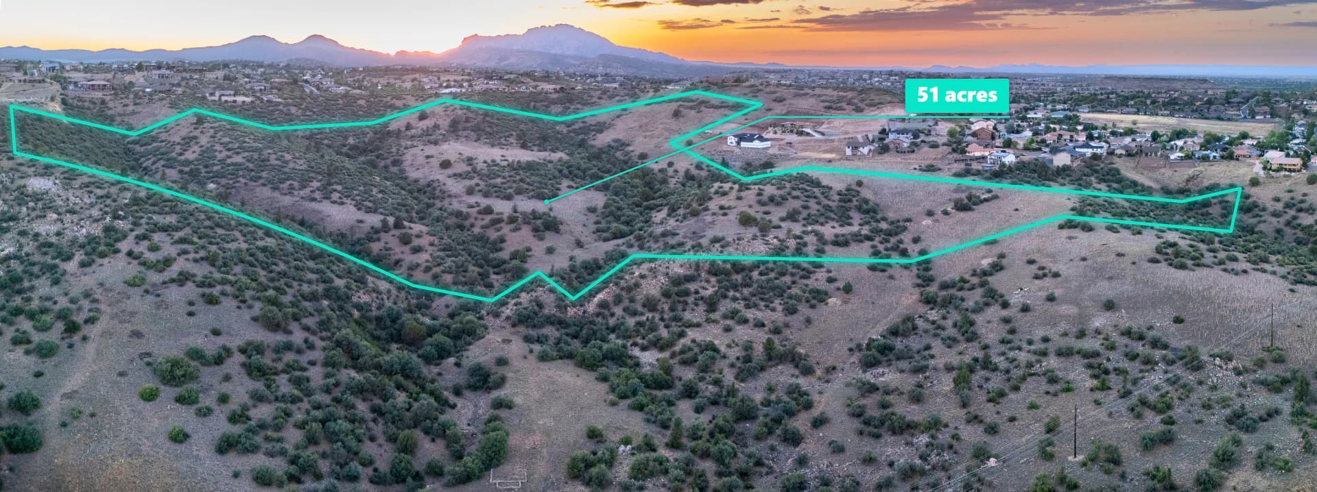
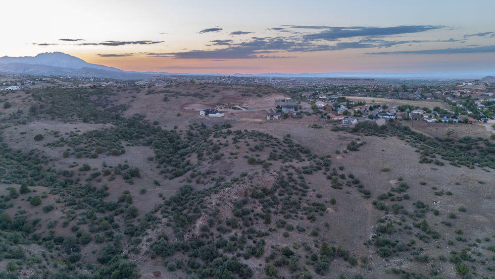
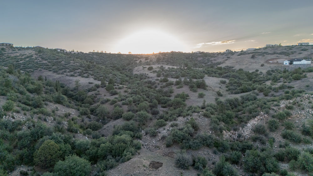
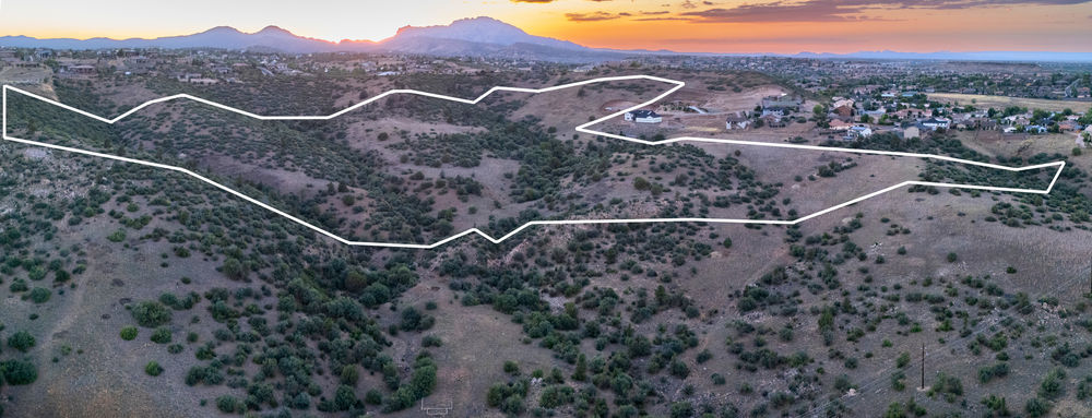
Photographing a 50-acre development site presents a challenge: capturing the entire property in one photo can require flying so far away that important details become harder to see. For this project, a single image wasn't enough to show the full site at the perspective and level of detail desired. The solution was to combine two aerial photos into one wide panorama and then add property line overlays.
Stitching Two Aerial Photos Together
The process started with two aerial photos that covered different portions of the property, with enough overlap for the images to be joined together. In Adobe Lightroom, the photos were aligned and merged into a single, wider image.
After merging the photos, the resulting panorama was edited to balance the overall appearance and bring out visible details across the site. Instead of choosing between a close view of part of the property and a distant view of the whole thing, the panorama offered a useful middle ground.
Adding Property Line Overlays
With the panorama edited, property line overlays were added to illustrate the approximate boundaries of the site. This brings two important pieces of information together: the actual landscape visible in the aerial photo and a visual reference for where the property lines fall.
For a large development site, that context can make the image more useful during property presentations, initial site evaluations, and discussions about the land. Viewers can see the terrain and surrounding features while getting a clearer sense of how the property is laid out.
Property line overlays are approximate visual references only. They are not survey-grade measurements and should not be used to establish legal boundaries.
When This Approach Is Useful
Aerial panoramas can be especially helpful when a property is too large to capture well in a single frame. Adding property line overlays can make the final image more informative for developers, property owners, and real estate professionals who need a clear visual overview of a site.