1. Home
  2. Projects
  3. Vacant Land Aerial Photography
Vacant Land Aerial Photography
Vacant Land Aerial Photography image
Gallery photos for Vacant Land Aerial Photography: Image #1Gallery photos for Vacant Land Aerial Photography: Image #2Gallery photos for Vacant Land Aerial Photography: Image #3Gallery photos for Vacant Land Aerial Photography: Image #4Gallery photos for Vacant Land Aerial Photography: Image #5Gallery photos for Vacant Land Aerial Photography: Image #6Gallery photos for Vacant Land Aerial Photography: Image #7Gallery photos for Vacant Land Aerial Photography: Image #8Gallery photos for Vacant Land Aerial Photography: Image #9Gallery photos for Vacant Land Aerial Photography: Image #10Gallery photos for Vacant Land Aerial Photography: Image #11Gallery photos for Vacant Land Aerial Photography: Image #12Gallery photos for Vacant Land Aerial Photography: Image #13Gallery photos for Vacant Land Aerial Photography: Image #14Gallery photos for Vacant Land Aerial Photography: Image #15Gallery photos for Vacant Land Aerial Photography: Image #16Gallery photos for Vacant Land Aerial Photography: Image #17Gallery photos for Vacant Land Aerial Photography: Image #18Gallery photos for Vacant Land Aerial Photography: Image #19

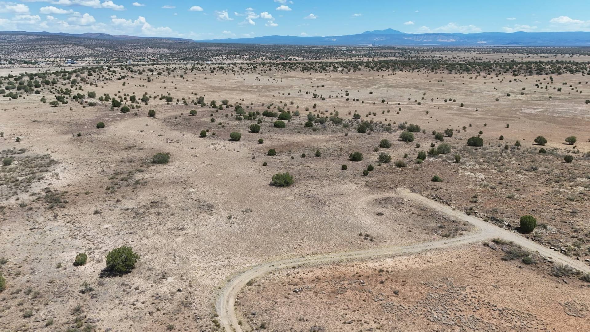
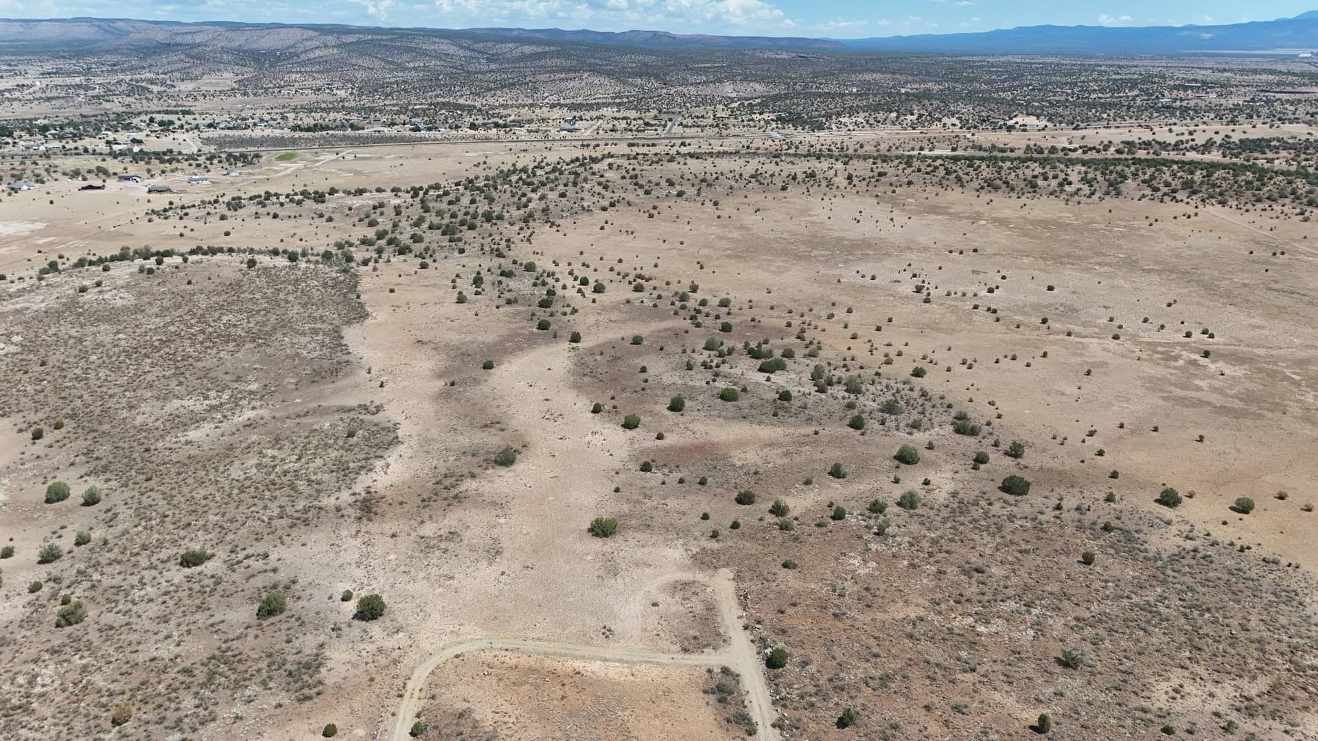
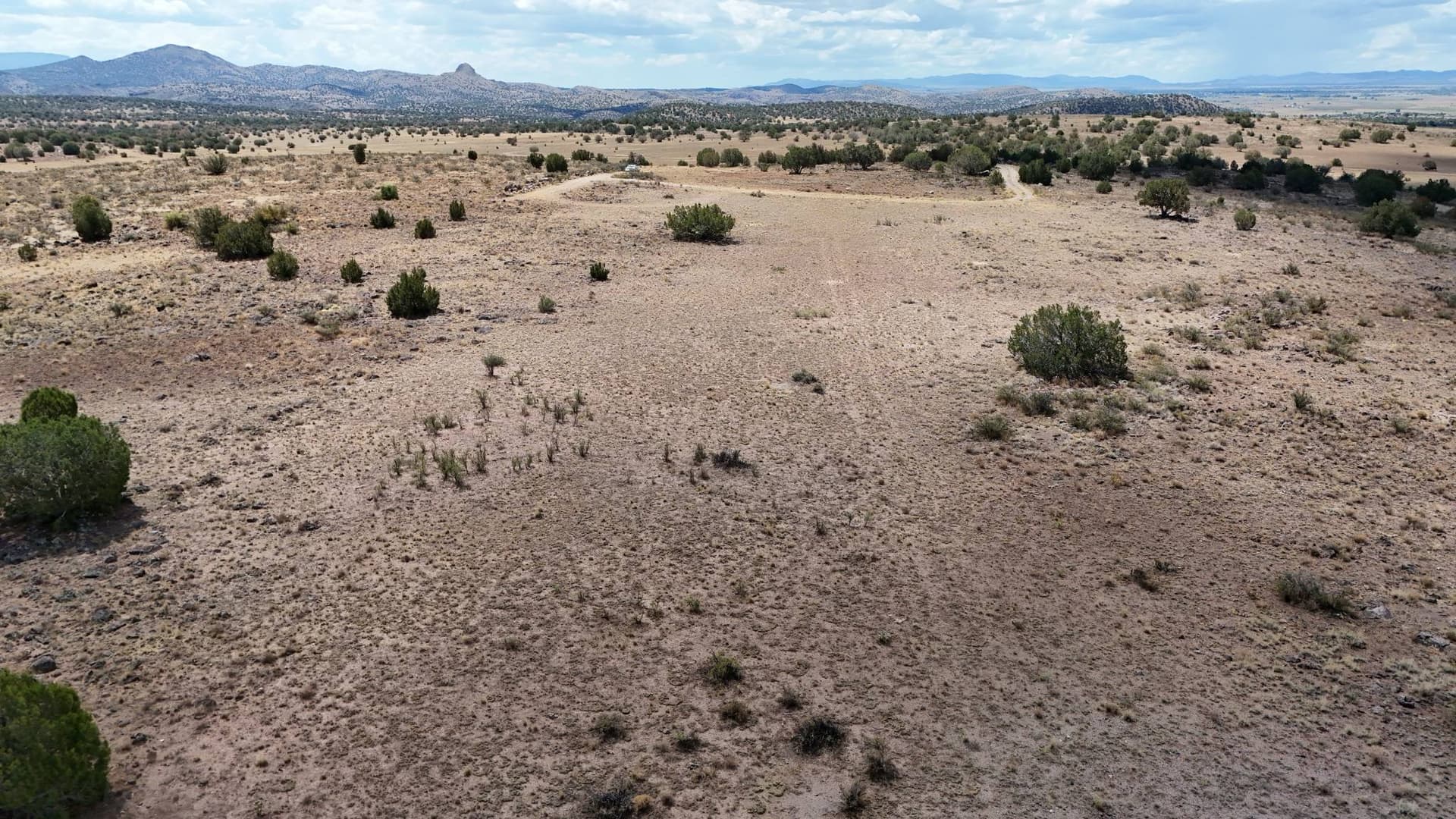
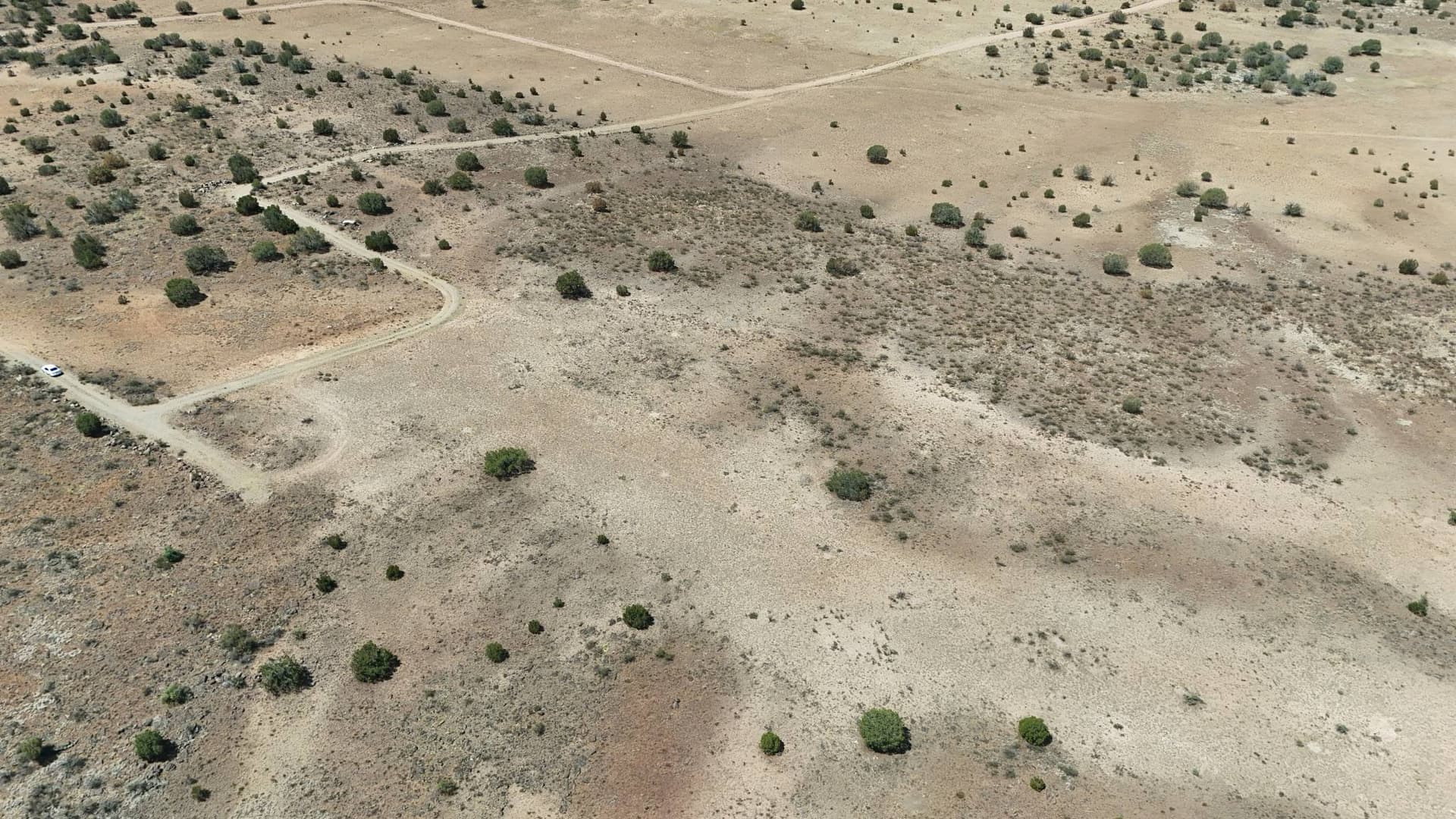
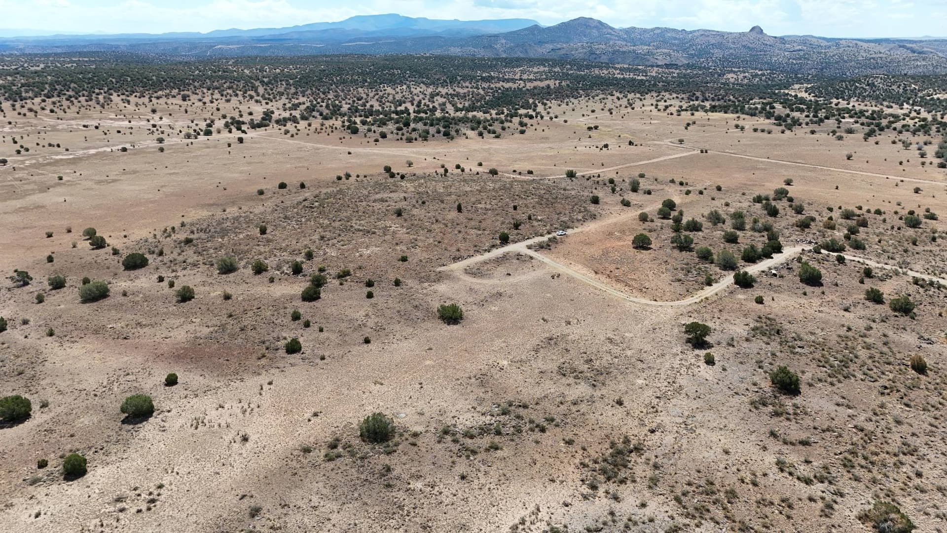
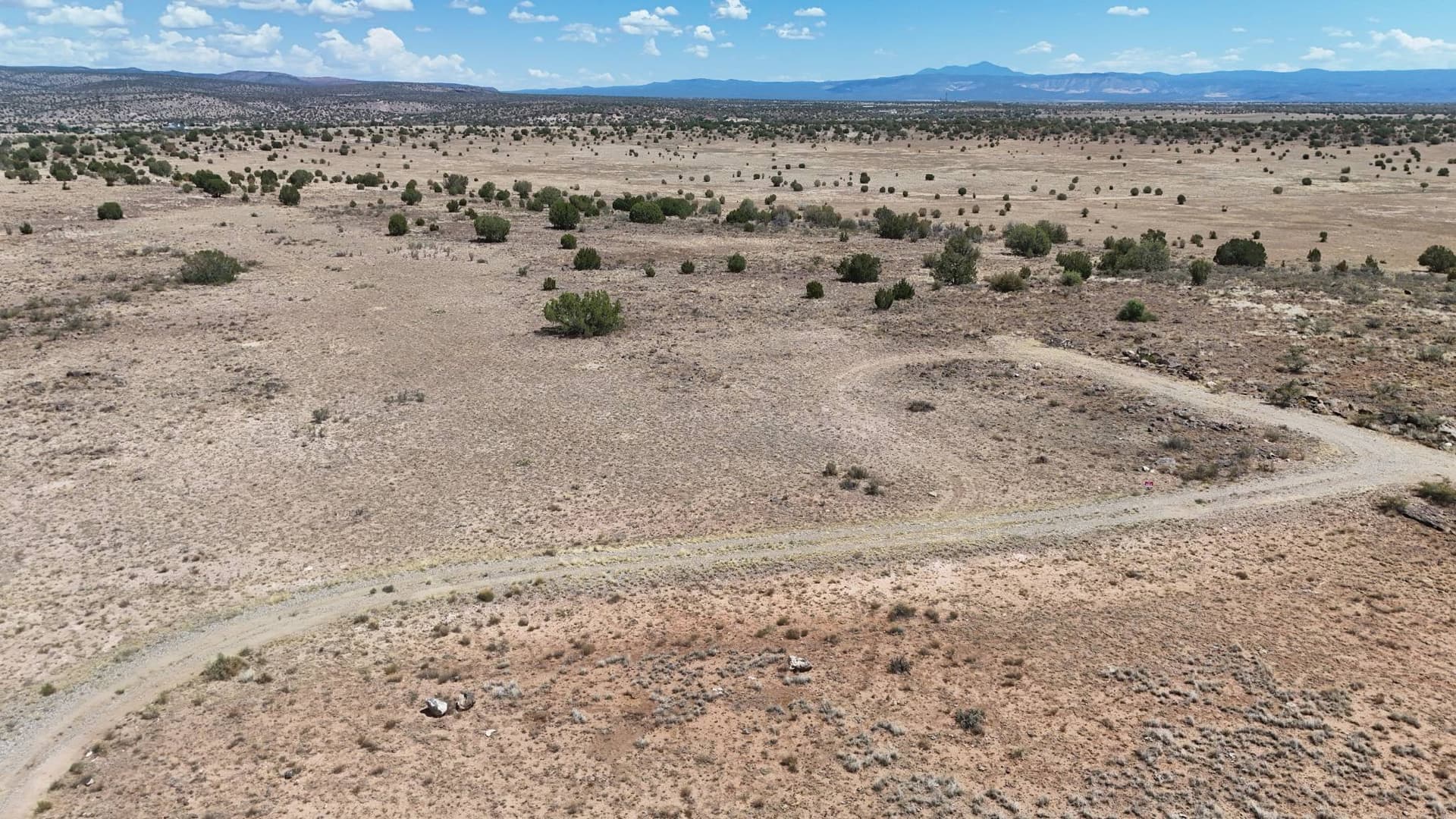
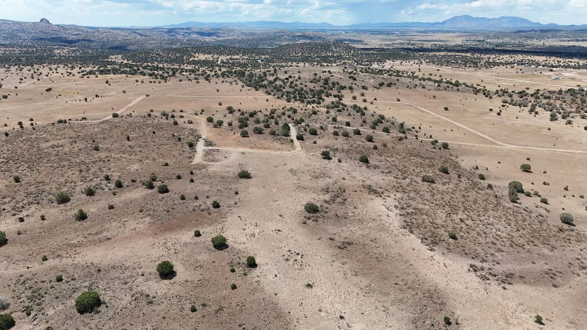
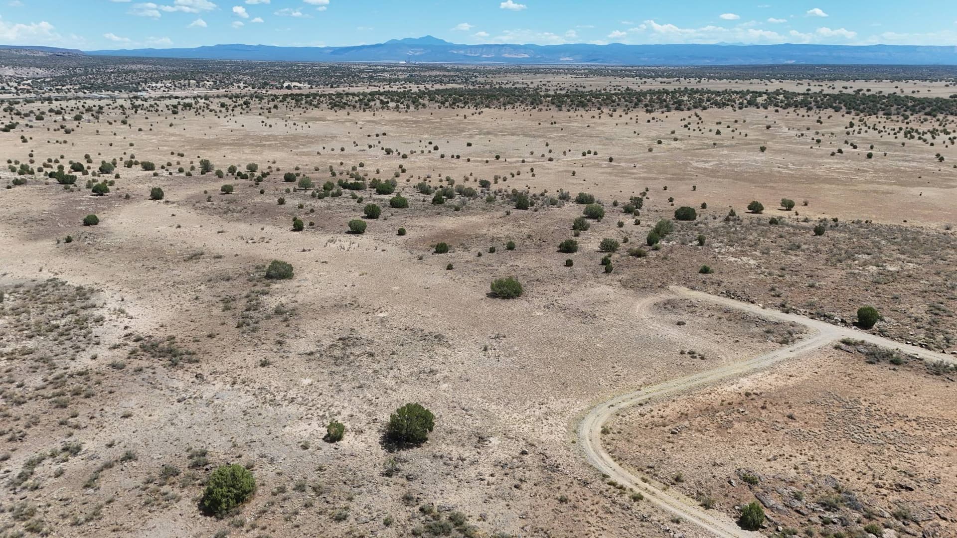
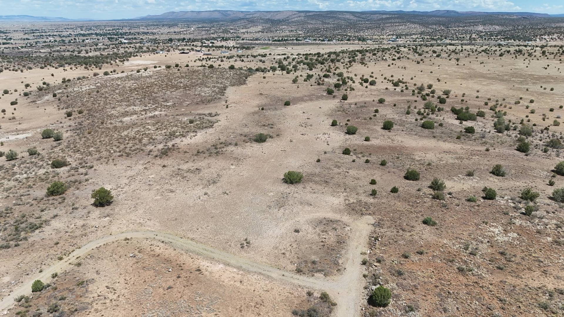
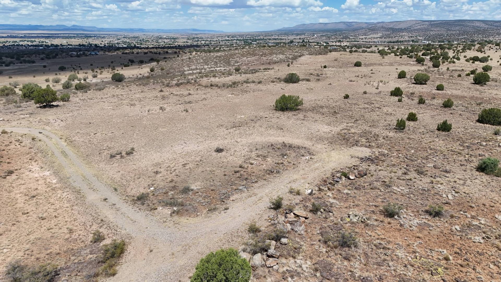
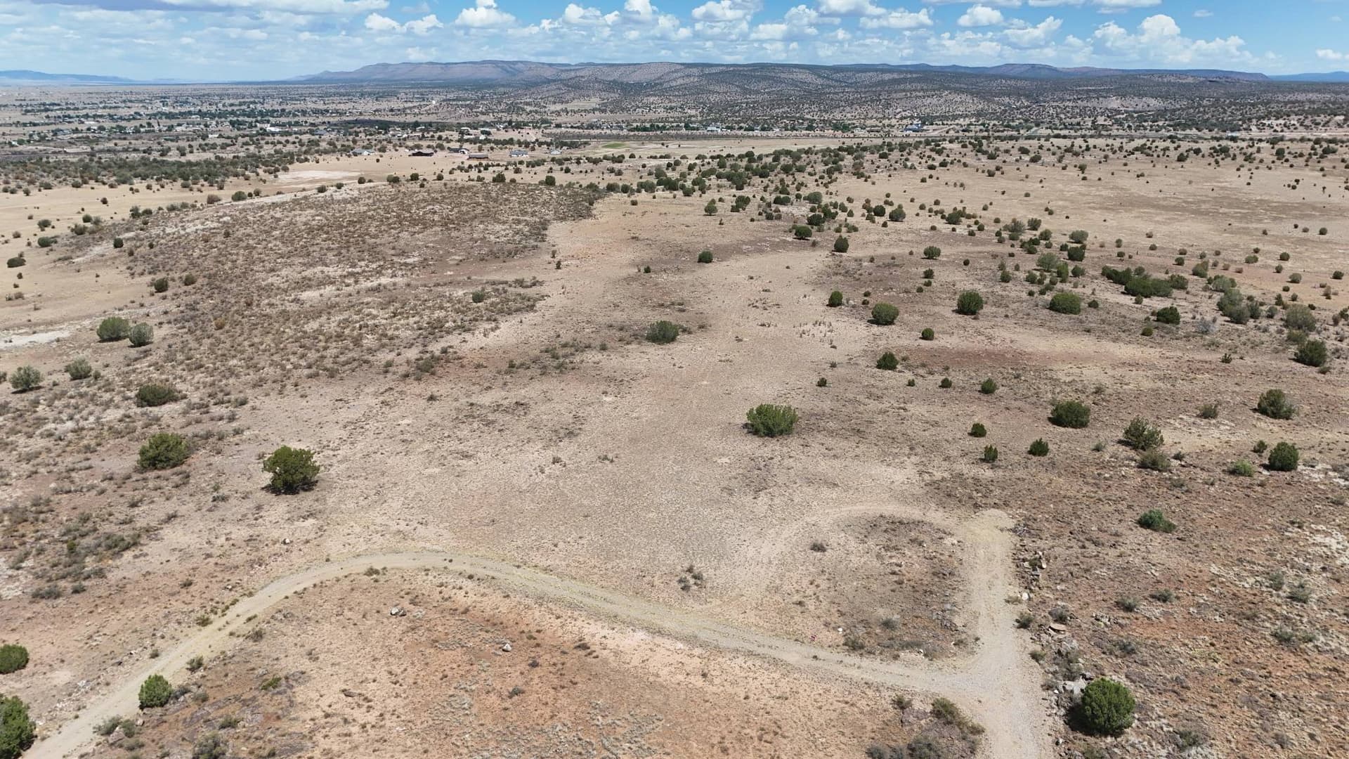
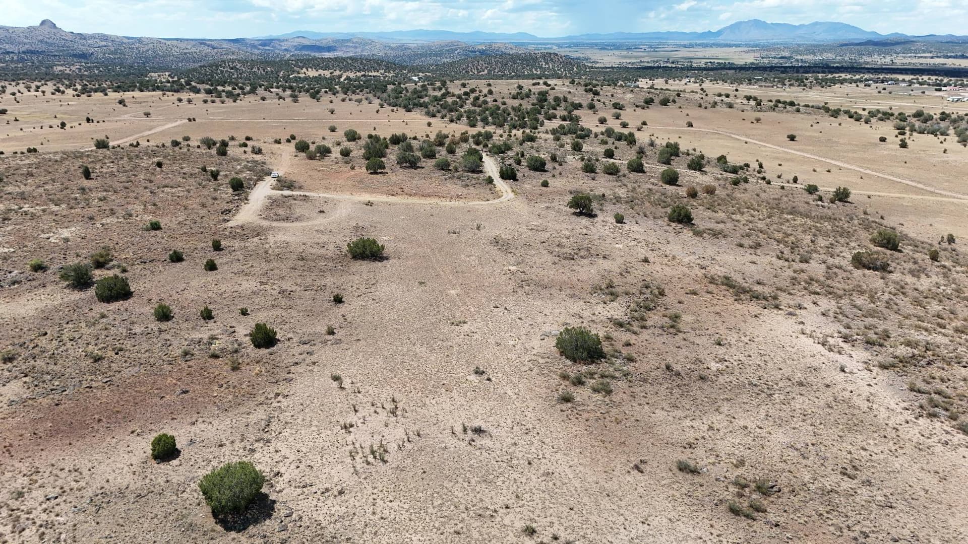
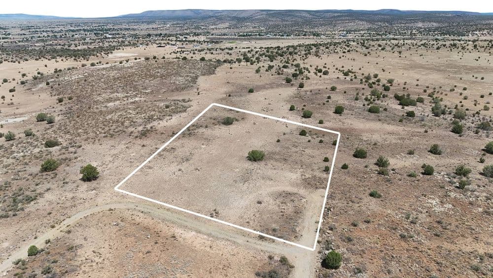
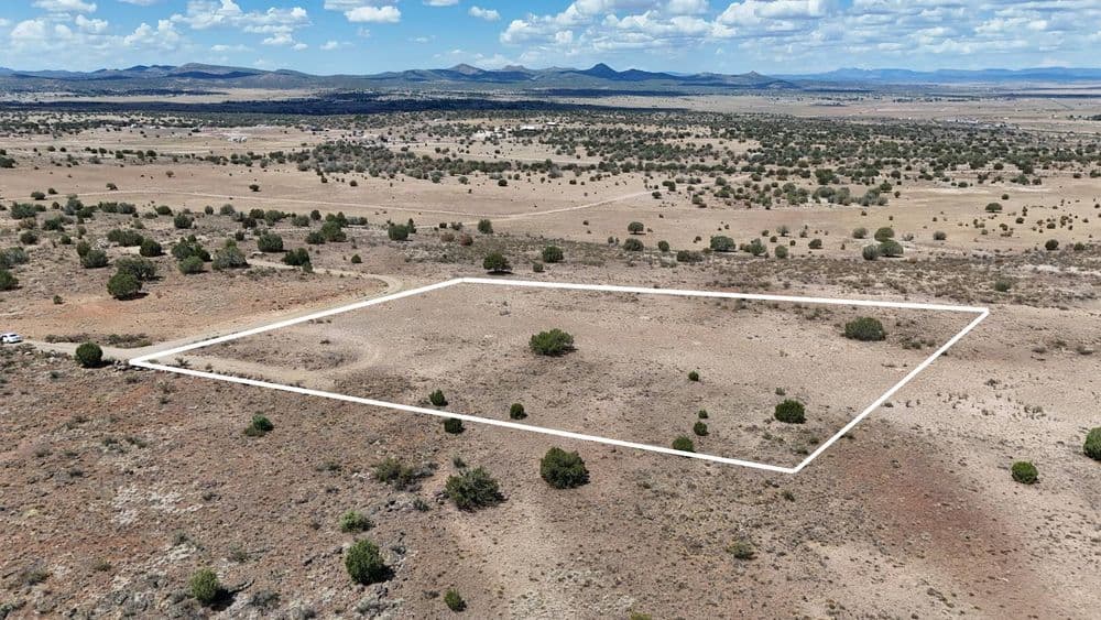
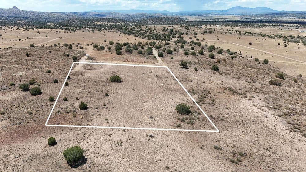
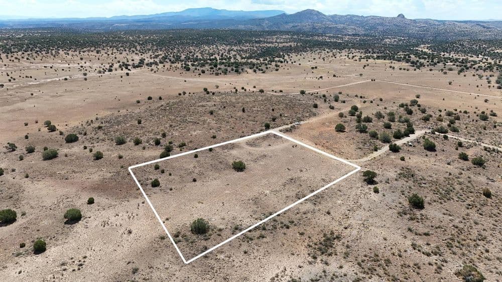
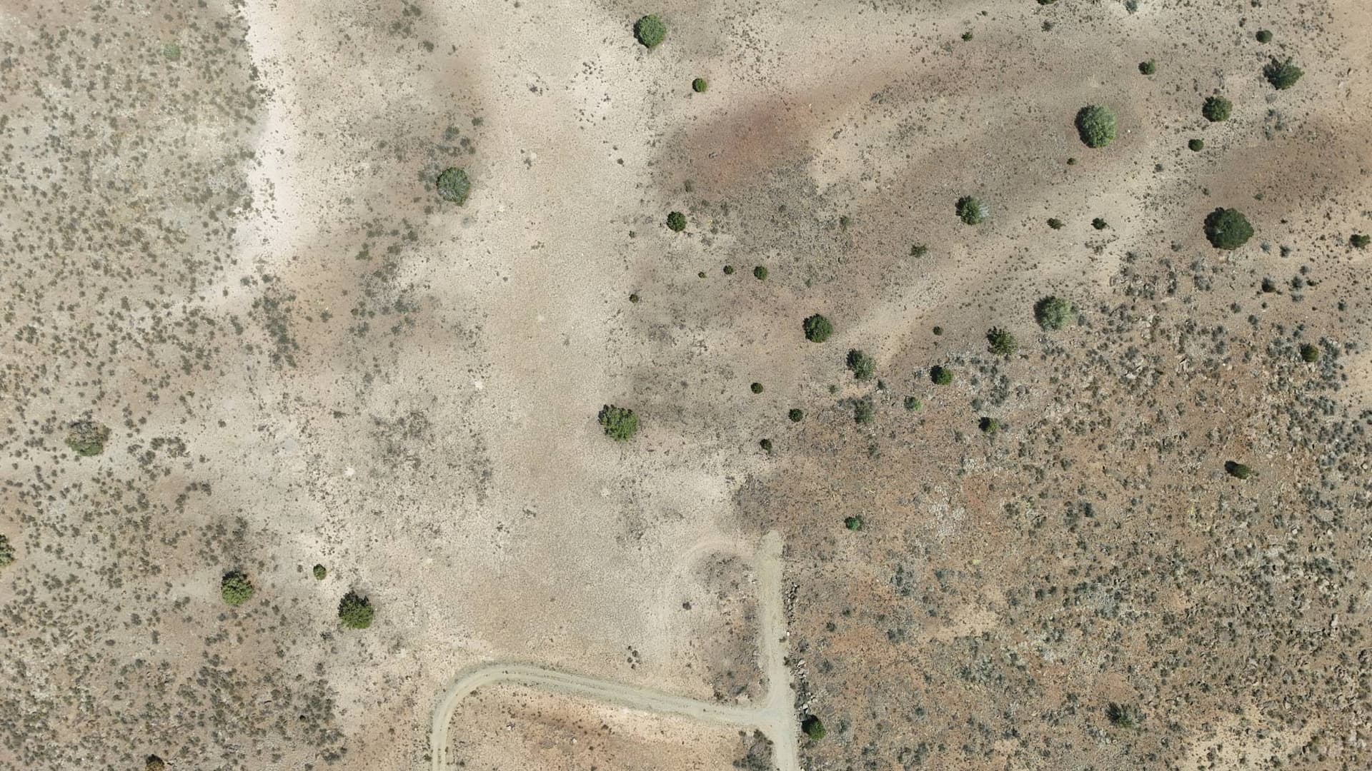
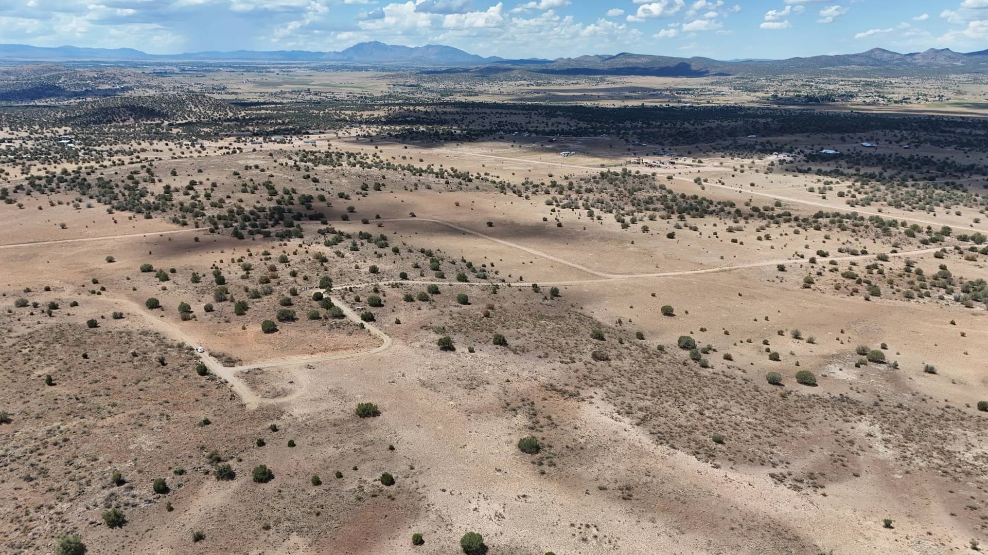
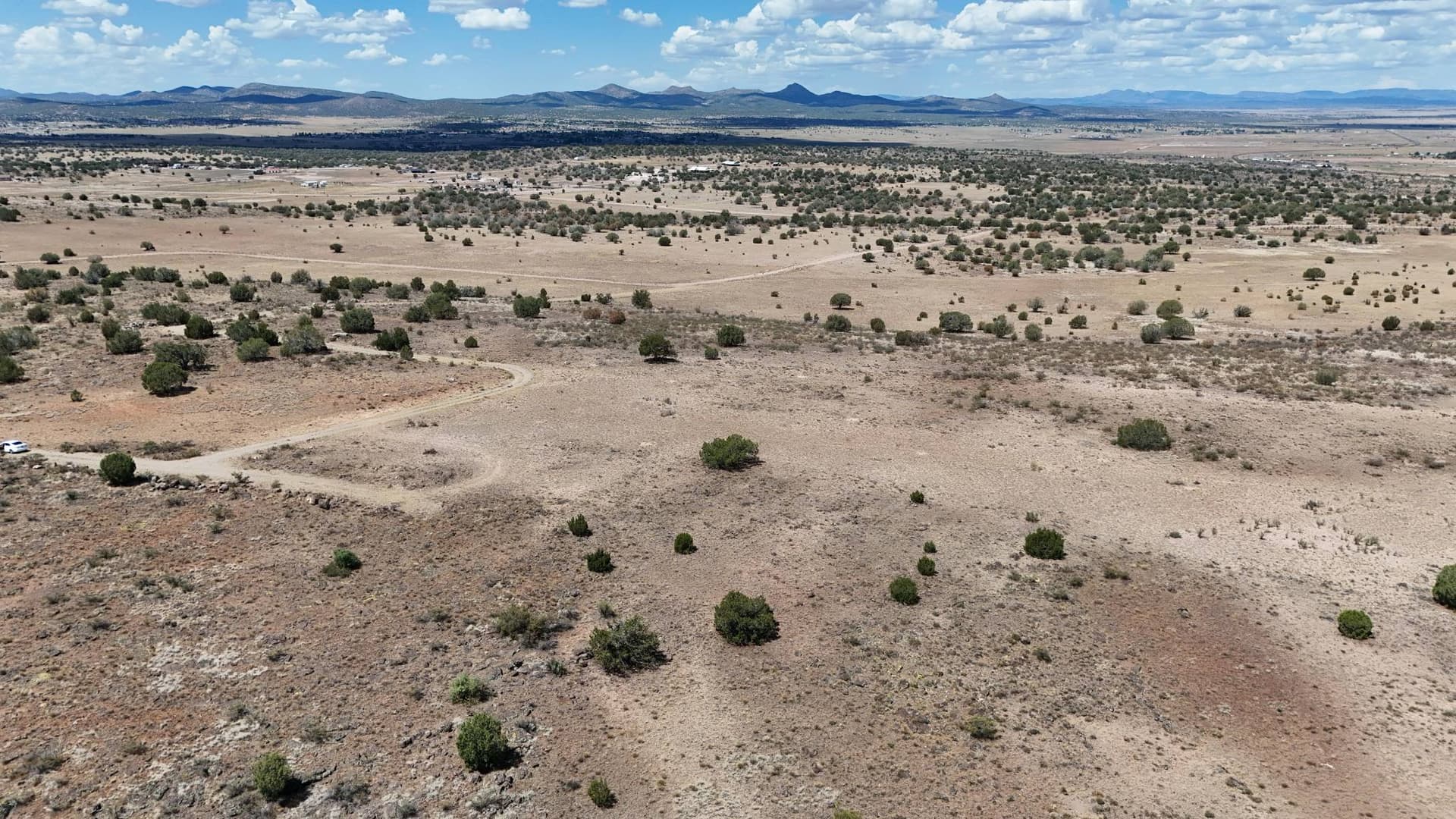
This project in Paulden, Arizona, showcases vacant land through aerial photography, highlighting the property's layout, open space, and surrounding landscape. Aerial views provide a broader perspective of the property, helping potential buyers and real estate professionals better understand the land and its features.

Our drone photography offers a clear view of properties that can be difficult to fully appreciate from the ground, providing useful imagery for real estate listings, property presentations, and marketing materials.

Related Services